The Pranmati catchment is a part of the Pindar basin which is a tributary of the Alaknanda River. The Tharali village located at the mouth of the Pranmati catchment is the major rural centre closest to the basin. It is located on the road connecting Karnaprayag and Gwaldam. The basin covers an area of about 94 sq.km. It has a fairly high relief with elevations ranging from 1156 m near the mouth to 4019 m near at the northern drainage divide.
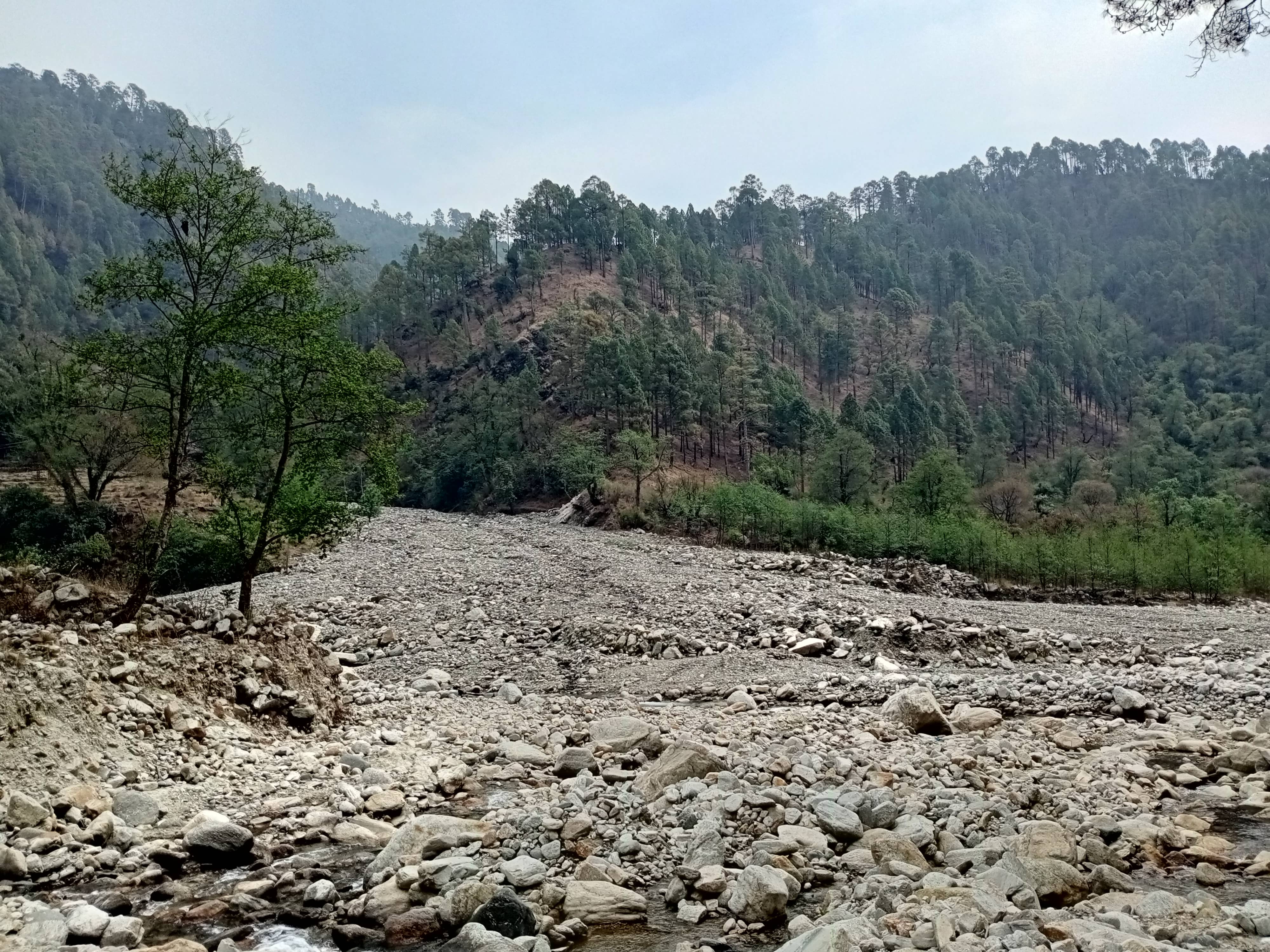
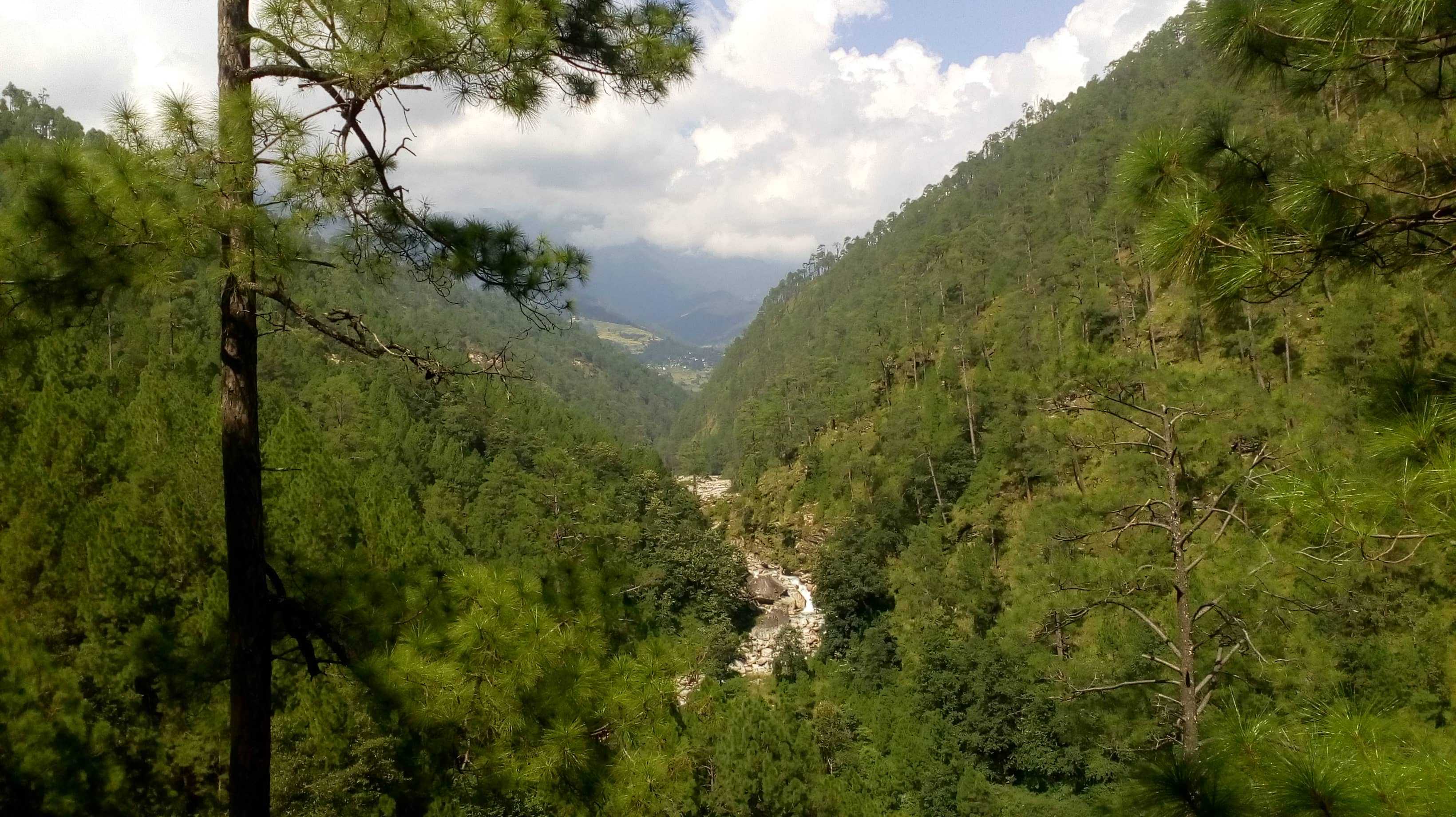
The basin is characterized by steep, thick soil mantled hillslopes and dense vegetation cover. Certain areas of the basin have been terraced for slope stabilization and farming purpose. The slopes along the northern boundary of the basin are barren. Seasonal snow cover can be observed in this region during winters.
Both ephemeral and perennial streams are present in the basin. The main stream is a 4th order stream. All streams are essentially boulder-bed channels except at certain reaches where the stream flows over the bedrock. A number of landslide zones are present within the basin.
The basin is situated entirely in the Baijnath Klippe that is bounded by the Askot thrust and the Baijnath thrust. The lithology of the klippe area has been reported to be mylonitized granite, granodiorites, augen gneisses and Lesser Himalayan metasedimentary rocks by Valdiya (1980) and other workers. ICIMOD (1991) have reported phyllites, gneisses and quartzites from the Pranmati catchment. There are evidences of structural deformation within the catchment. Prominent landslides, some of which are associated with the structural features, have been mapped.
The vegetation of the area broadly consists of grasses, pines, oaks and rhododendrons. Orchard trees are grown by villagers. Agricultural crops mainly include rice, potato, bhat, jhangora, other vegetables and local cereals.